Who we are
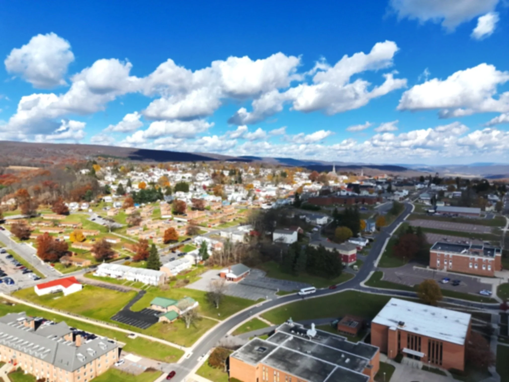
The Western Maryland Regional GIS Center (WMRGISC) is a fully grant-funded office that facilitates and supports the research and experiential learning activities of geographic information systems, remote sensing, geospatial data visualization, and geospatial data management for FSU and the surrounding Western Maryland region.
Founded in 1995 by William Nizinski and Dr. Craig Caupp of the Geography Department, the Western Maryland Regional GIS Center was established to pursue grants and contracts related to GIS and environmental issues in Maryland. In the past 30 years, WMRGISC has collaborated with a variety of clients and partners, including Maryland Department of Natural Resources, Maryland Bureau of Mines, Potomac Riverkeeper Network, and many more. WMRGISC continues to provide its services to Maryland DNR’s Power Plant Research Program (PPRP) to research Western Maryland coal mining and maintain an inventory of its impacts on the state and the greater Chesapeake Bay Watershed.
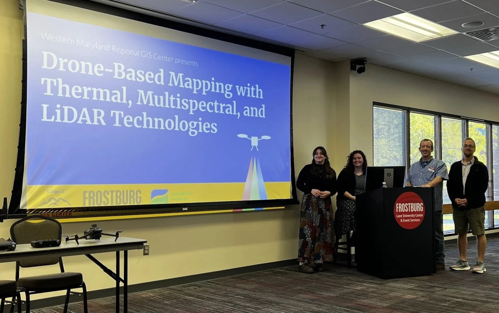
In 2024, WMRGISC was awarded a $500,000 grant from the Appalachian Regional Commission (ARC) to enhance Western Maryland’s access to modern GIS technology and support the local Appalachian workforce. This includes updating office facilities and technology, facilitating GIS experiences and learning for students, and collaborating with local governments, educational institutions, and environmental organizations. We aim to utilize these funds to both support the enrichment of the student experiences in the Geography Department and to increase the public’s access to geospatial data and technologies.
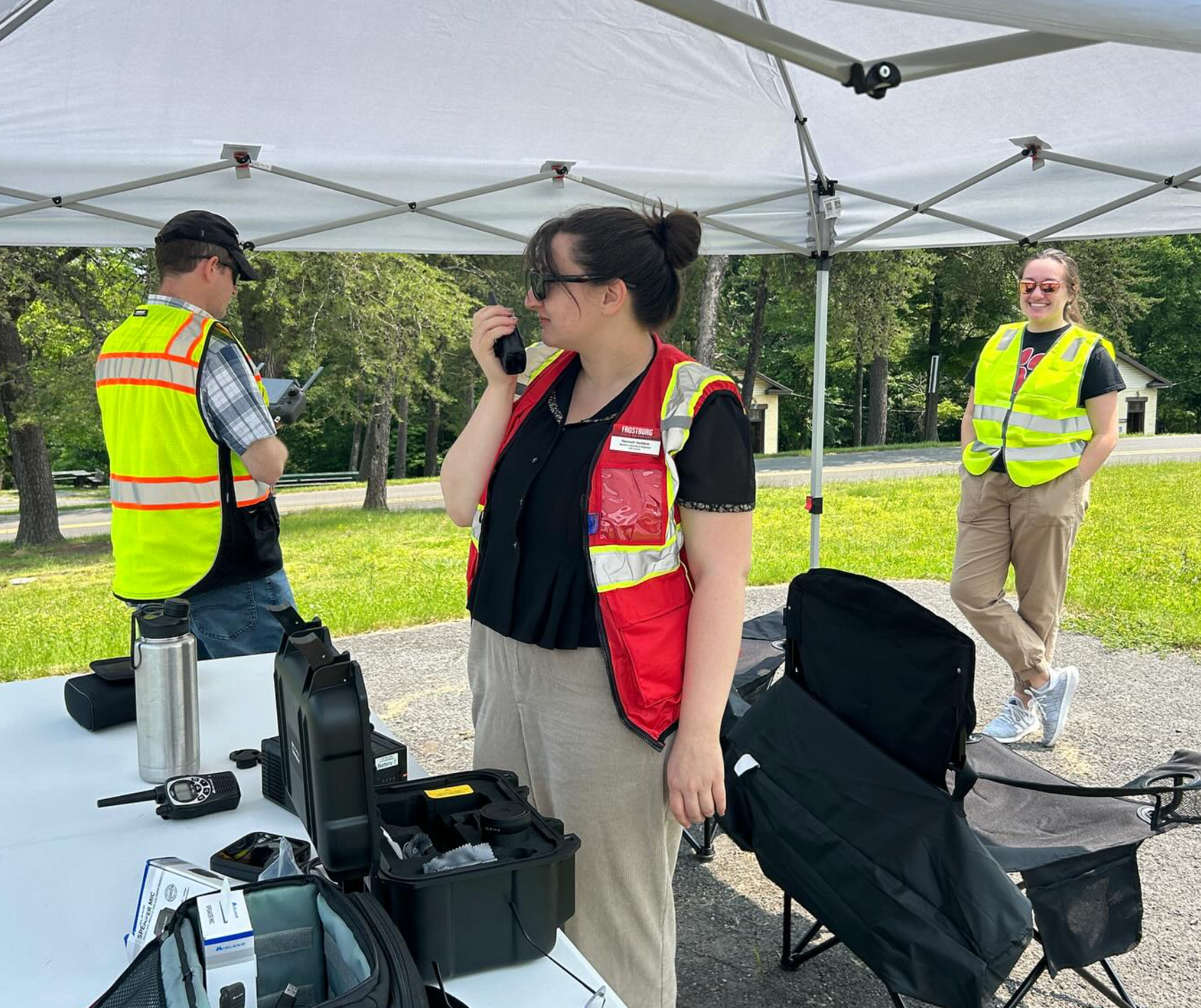
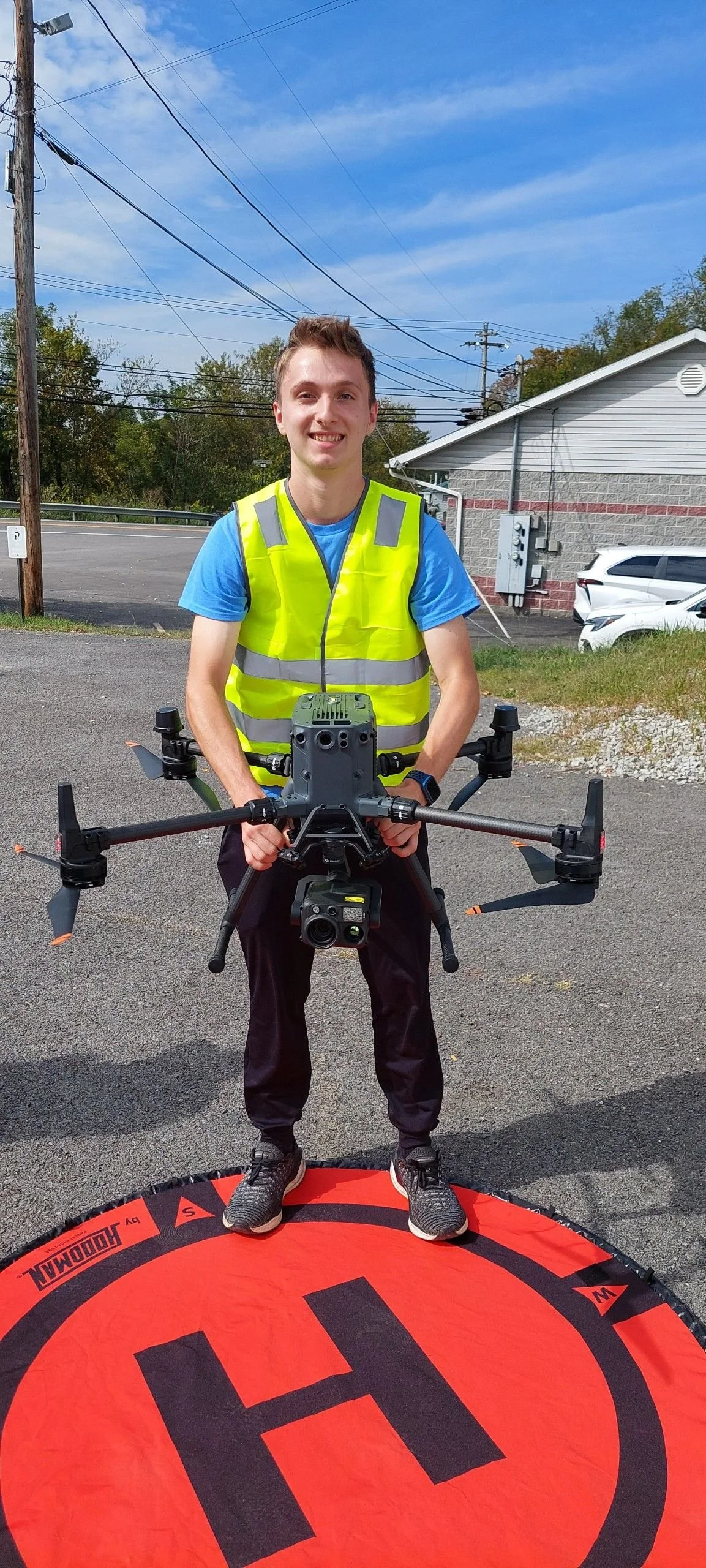
Learn more about our experienced staff and their expertise! All GIS Center staff are FAA Part 107 certified drone pilots.
Meet the staff
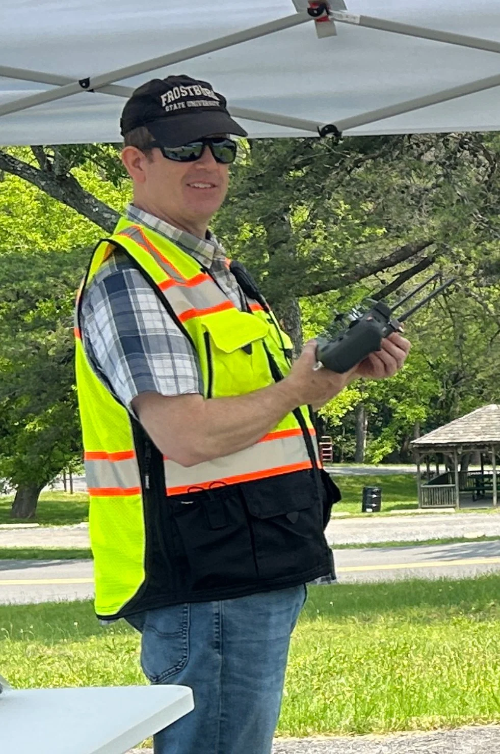
Jason Litten
Director
Ort Library, Suite 210
301-687-4229
jlitten@frostburg.edu
Jason is Director of the Western Maryland Regional GIS Center at Frostburg State University, with more than 26 years of experience in applied geospatial analysis, remote sensing, and environmental mapping. His work supports state, federal, and nonprofit partners and includes GIS, drone and LiDAR data collection, historical mapping, and land-reclamation research. He provides program leadership and manages complex, multi-year grant-funded projects while mentoring undergraduate students through hands-on, real-world geospatial work.
B.S. Environmental Analysis & Planning, Frostburg State University
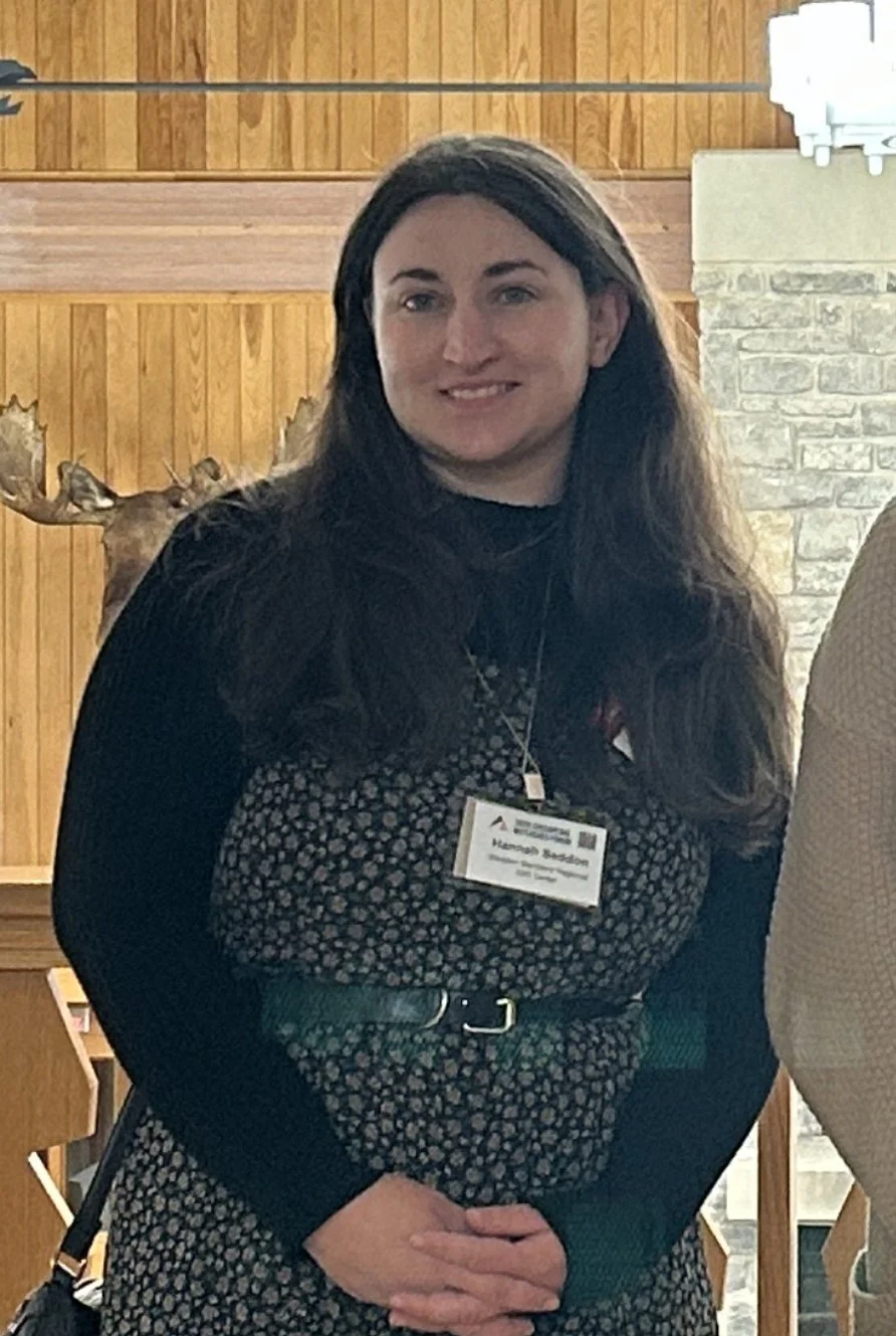
Hannah Seddon
Ort Library, Suite 210
301-687-4247
htseddon@frostburg.edu
Environmental Specialist
Gunter Hall, Room 230
301-687-4266
wawetherholt@frostburg.edu

Dr. William Wetherholt
Associate Director
As Associate Director, Bill assists the GIS Center with grant acquisition, networking, student work, and collaborative projects. Outside of the GIS Center, Bill is an Associate Professor of Geography and Associate Chair of the Department of Physical & Environmental Sciences at Frostburg State University.
Ph.D. Geography, Kansas State University
M.A. Geography, University of North Dakota
B.A. Geography, Kent State University
Hannah began working at the GIS Center as a student in 2019 and later became a full-time staff member in 2022. Hannah specializes in mine mapping, geospatial data handling, and environmental research.
M.S. Environmental Management, Frostburg State University
B.S. Earth Science, Frostburg State University
Antonia Zais
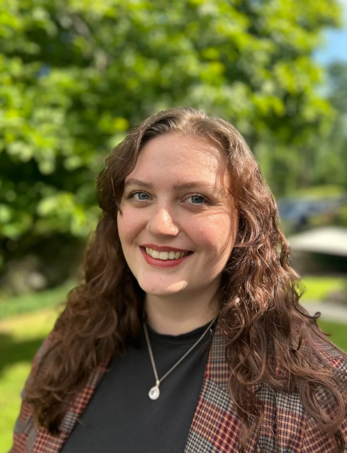
Environmental Specialist
Ort Library, Suite 210
301-687-4247
arzais@frostburg.edu
Antonia (Toni) has been a full-time staff member since 2023. Her expertise includes digital mapping, geodatabase management, environmental research, and grant applications. She also acts as social media manager for the GIS Center’s Instagram and LinkedIn pages, as well as this website.
M.S. Environmental Management, Frostburg State University
B.S. Geography, Frostburg State University
Contact us
Interested in working together? Fill out some info and we will be in touch shortly. We can’t wait to hear from you!